Estimated read time: 3-4 minutes
This archived news story is available only for your personal, non-commercial use. Information in the story may be outdated or superseded by additional information. Reading or replaying the story in its archived form does not constitute a republication of the story.
- Snow is forecast to return to northern and central Utah early Saturday, with advisories issued.
- Mountains may receive up to 15 inches of snow, affecting travel conditions.
- The storm benefits Utah's snowpack, but regional disparities in snow depth persist.
SALT LAKE CITY — Snow is back in Utah's forecast after a short slowdown in storm activity this week.
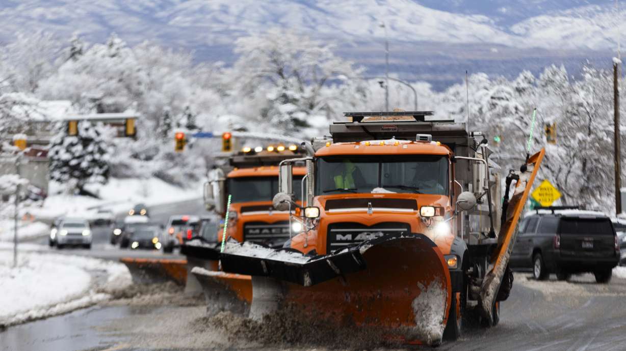
The National Weather Service issued a winter weather advisory for a storm that could deliver another 6 to 12 inches of snow or more in the mountains across northern and central Utah Friday evening, while valley communities may also receive an inch or two.
Storm timing and accumulations
The next wave of moisture is coming from the Pacific Northwest, yet again, passing through parts of Utah's northern half and areas north of Utah beginning Friday, according to KSL meteorologist Matt Johnson. Storm activity will linger into Saturday morning, spreading into more of the Wasatch region and to central Utah.
Scattered snow showers may linger throughout the rest of the day and possibly even into Sunday, especially in the northern third of the state, Johnson adds.
While the storm could deliver up to another 6 to 12 inches of snow in the mountains, higher accumulations could reach 15 inches in the upper Cottonwood canyons, the weather service says. The Bear River range in northern Utah may also receive high totals.
❄️Snow will arrive later this evening, so here's a look at the latest forecast. Be aware of the chance for blowing snow and reduced visibility if traveling in the mountains and/or far northern UT.
— NWS Salt Lake City (@NWSSaltLakeCity) January 10, 2025
Check https://t.co/ZwDbhkqREV for the latest road conditions. #utwxpic.twitter.com/2LojTE3tz4
The central Utah advisory expires at 5 p.m. Saturday, while the Wasatch Mountain and northern Utah advisory expires Saturday night.
An inch or two of snow is forecast for the Wasatch Front and northern Utah, but the weather service notes that lake-effect snow could boost those totals in and around Tooele and Salt Lake counties, as well as parts of northern Utah if the right conditions line up. Wasatch Back communities could see a few additional inches of snow, too.
Johnson said it appears the storm will miss most areas south of central Utah.
Impacts
Utah transportation officials issued a road weather alert that will last through Saturday night.
It urges drivers to use "moderate" caution along most routes near the I-15 corridor, from Beaver north. "High" caution is recommended along the Cottonwood canyons, as well as the Daniels, Sardine and Logan summits across the Wasatch and northern Utah regions, where periods of "heavy" mountain snow and blowing snow are possible.
Road Weather Alert: A cold front will bring widespread road snow and areas of blowing snow late Friday night and throughout Saturday across much of state. For more information visit: https://t.co/QrWh3RJH0r……@UtahTrucking#utwx#utsnowpic.twitter.com/iKIgV0bLl3
— UDOT Traffic (@UDOTTRAFFIC) January 10, 2025
However, the storm is a boost for the state's snowpack. It slipped to 94% of the median average for this point in the season on Friday morning after briefly jumping past 100% earlier in the week, per Natural Resources Conservation Service data. However, a snowpack gap persists between the state's different regions.
Many of the state's northern snowpack basins remain between 90% and 116% of the median average, while some parts of central Utah have fallen to 66%-74% of the average. Some of southern Utah's snowpack basins remain under 50%, slightly above record-low levels for the first half of January.
The difference, Johnson said, also exists in snow depth data. Areas in northern Utah — like Tony Grove, Monte Cristo, Farmington Canyon and Trial Lake — now have snow depths above normal for this point in the season. By contrast, Cedar Breaks, in southern Utah, has snow nearly half as deep as its normal level.
Full seven-day forecasts for areas across Utah can be found online at the KSL Weather Center.


