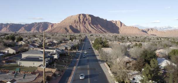
- The West, including Utah, faces its slowest snow start in 25 years.
- Warm temperatures have led to rain instead of snow across many regions.
- Experts suggest one storm could improve snowpack if cold air returns.
SALT LAKE CITY — Utah's snow season isn't alone in its "slow start."
Snowpack levels are below average to well below average in basins across the West, and satellite imagery shows that the region's snow cover is lowest through the first week of December since the program launched in 2001, according to a new report by the National Integrated Drought Information System, a multiagency federal program that tracks drought risks.
"Much of the West is in a snow drought as warm (temperatures) have brought rain to many areas that would normally get snow. Snow cover across the West was the lowest for Dec. 7 in at least 25 years," the agency wrote in a statement on Thursday.
Snow covered 90,646 square miles of the West at the start of this week, per a reading of the Moderate Resolution Imaging Spectroradiometer, which is almost one-third of the median average for Dec. 7, according to its data. Cover has also dropped this week, with high pressure dominating most of the West.
However, that's only part of why snowpack is so low, experts say.
Where is the snow?
In Utah's case, two large patterns have factored in its low snowpack, which is a measure of water in freshly fallen snow. It received a bunch of moisture in October, but that came from a series of warmer systems that didn't produce much snow outside of higher elevations, said Sam Webber, a meteorologist with the National Weather Service's Salt Lake City office.
"Part of it was that atmospheric river component, where we were drawing a lot of subtropical moisture into the region," he said. "The other part of that is we just haven't had a cold air built up over western Canada, where we really need it in order to get some snowstorms pushing down into northern Utah."
It's been primarily warm and dry since, with the emergence of more high-pressure systems providing very few opportunities to add to the snowpack. Southern Utah had one outlier storm before Thanksgiving, which mostly missed northern Utah. A storm that blasted northern Utah's mountains last week was its outlier, but southern Utah missed out on that.
Utah's statewide snowpack is now 64% of its median average for this point in the year, but some of its basins are still below 50% of average, despite its overall precipitation collection that's 107% of normal.
Both trends appear to have factored across the West. There haven't been many opportunities for colder air to mix in with the storms that continue to pound the American West because most of the cold air that factors into winter storms has been up closer to Siberia to the west or Hudson Bay to the east since the water year began in October.
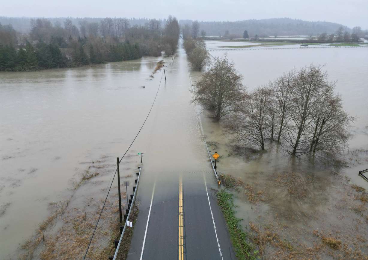
Although the Pacific Northwest and Northern Rockies benefited from the storms during Utah's lull, they were too warm for snow outside of the highest elevations. Thus, precipitation remains "near or above median for many parts of the West," but there's record-low snow cover, according to the National Integrated Drought Information System report.
"Much warmer-than-normal temperatures caused precipitation to fall as rain instead of snow across many basins, leading to snow drought despite wetter-than-normal conditions across most of the West," the agency wrote.
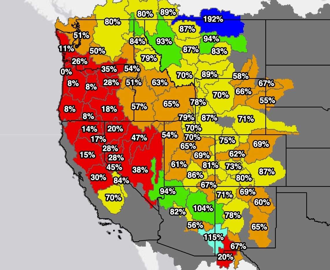
California's Sierra Nevada Range, Oregon's Blue Range, the Cascade Range between Oregon and Washington and Nevada's Great Basin are suffering the most, starting this week at below 30% of their median averages. Some of Oregon's mountains had no snowpack at all entering this week.
There are some exceptions, though. Parts of Montana are close to double their average, as the Northern Rockies generally have the highest levels.
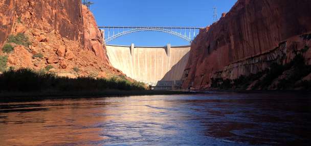
Snowpack accounts for more than half of the West's water supply, with higher percentages in mountainous areas, according to the University of Colorado. Its importance is larger in mountainous communities, including in Utah.
Can the West turn it around?
There isn't a lack of moisture in the West this week, as flood watches and warnings covered western Washington and northern Idaho on Thursday. Winter storm warnings and winter weather advisories also blanketed most of Montana.
All it takes is one storm to turn things around this early in the season, though, the National Integrated Drought Information System report adds. That's true for Utah, where most of its snowpack collection comes in January or later.
It just needs the cold air to return to the northwest edge of North America. Long-range models do favor below-normal temperatures for the Pacific Northwest and Northern Rockies throughout meteorological winter, but that might develop after December, per the National Weather Service Climate Prediction Center.
Odds lean slightly toward warmer conditions remaining in Utah, but there could still be snow in the mountains. If colder conditions emerge to the north, storms that pass through into Utah from that region — which is common during a La Niña winter — could produce more snow cover in Utah, Webber said. There are some signs that could happen by late December, he adds.
"But, for the time being, I think things are just a bit too warm, and we don't really have any of that color built up," he said.