Estimated read time: 4-5 minutes
This archived news story is available only for your personal, non-commercial use. Information in the story may be outdated or superseded by additional information. Reading or replaying the story in its archived form does not constitute a republication of the story.
- Utah experienced significant snowfall on Thursday, with ski resorts receiving 4-8 inches.
- Multiple feet of snow is still possible through early Monday, especially near Alta and Tony Grove.
- Winter storm warnings remain for northern Utah along with avalanche warnings.
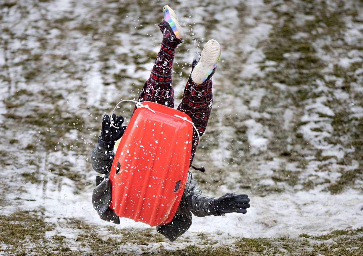
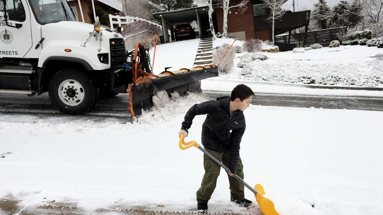
SALT LAKE CITY — A wave of moisture that passed through Utah dumped 4 to 8 inches of new snow at ski resorts all across Utah's northern half on Thursday, but meteorologists say that more than a foot of snow is still likely in the mountains over the next few days.
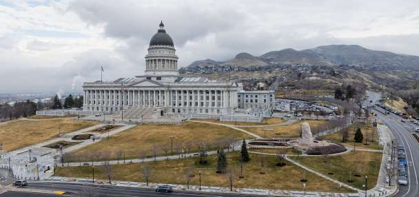
The National Weather Service's winter storm warnings for Utah's northern half remain in place through Saturday night, while a winter weather advisory in central Utah expires Friday night.
Similar warnings extend up into southeast Idaho along with increased avalanche danger.
Lingering precipitation
On top of the new resort snow, places like Tooele gained another 0.48 inches of precipitation, while locations across the Wasatch Front and northern Utah gained at least 0.1 inches of precipitation from waves of moisture that passed through the state on Thursday.
"We really delivered (on Thursday) in the rain bucket," KSL meteorologist Matt Johnson said.
He explained that the storms were essentially waves from a storm that passed through the state on Wednesday, delivering a white Christmas in some areas and a nice dose of precipitation overall after another dry stretch across the state.
Pleasant Grove collected 0.58 inches of precipitation to lead all valley communities on the holiday, while Kaysville added 0.43 inches.
Ongoing waves of rain and snow showers are forecast to pass through Utah over the next few days. A large wave of rain and snow entered the state Friday morning; it's forecast to clear out by the end of the afternoon with some snow flurries remaining the mountains Friday night.
Johnson said the next wave of valley rain and mountain snow is forecast to pass through Utah's northern end Saturday morning before becoming more scattered and eventually tapering off throughout the day. Another wave is expected to follow Sunday night, possibly bringing a rain-snow mix in the valleys.
Potentially strong totals
The on-and-off showers have been a little more difficult to project because they aren't as organized as a traditional winter storm, but the National Weather Service released a new weather model on Friday showing that most mountain areas are forecast to receive at least 8 inches of additional snow on Friday with potentially higher totals on Saturday.
It projects that Alta could receive as much as 13-20 inches on Friday and another 12-18 inches on Saturday, but even higher totals are possible near the Utah-Idaho border. It states that up to 13-19 inches of snow was possible by Tony Grove on Friday before another 18-24 inches on Saturday.
Our latest storm system has moved in. Rising snow levels means valley rain, but the northern mountains will see significant snow. After a lull tonight, the next system will bring more much needed snow to the mountains. Here's how much to expect from these waves. #utwxpic.twitter.com/5GWGzS7opY
— NWS Salt Lake City (@NWSSaltLakeCity) December 27, 2024
A winter storm warning for the Wasatch, West Uinta and Wasatch Plateau/Book Cliffs mountains expires at 11 p.m. on Saturday, but the weather service notes that additional snow is also "likely" between Sunday night and Monday morning. Warnings were also issued for areas in southeast Idaho by the weather service's Pocatello, Idaho office.
A winter weather advisory issued for the central mountains — where 6-12 inches of snow was forecast to fall between Thursday and Friday — expires at 11 p.m. on Friday.

KSL Weather models suggest that most Wasatch Front and northern Utah valleys could collect 0.5 to 1 inch of precipitation or more between Friday and Monday, most of which will fall as rain but some could fall as snow. Parts of central and eastern Utah could also come away with 0.1 to 0.5 inches; rain and snow are less likely in southern Utah, which the lingering showers could skip.
Storm impacts
Johnson said some of the showers could come during traditional commuting hours or when people are returning from holiday getaways.
Updated Road Weather Alert: Continuing Periods of Mtn Road Snow Friday Afternoon Through Midday Saturday. For more information visit: https://t.co/QrWh3RKePZ…@UtahTrucking#utsnow#utwxpic.twitter.com/buuPlmD2qv
— UDOT Traffic (@UDOTTRAFFIC) December 27, 2024
Utah Department of Transportation officials advise drivers to use "moderate" and "high" caution on most roads across Utah's northern half. Traction laws were enforced across multiple mountain passes on Thursday and remain in effect in some areas on Friday, including Big and Little Cottonwood canyons in Salt Lake County and U.S. 91 through Sardine Canyon in Box Elder/Cache counties. Those could be extended into the weekend, as well.
Only vehicles with four-wheel drive or chains are allowed on roadways when restrictions are in place. Chain restrictions could be extended or enforced in other areas at points throughout the next few days.
As for those recreating in the snow, the Utah Avalanche Center issued a backcountry avalanche warning that covers the Wasatch Mountains and parts of southeast Idaho. Friday's warning expires Saturday morning, but similar warnings are expected to be issued over the next few days.
The agency's forecasters say avalanche danger could rise as new snow falls on "weak layers" built up on the mountains. They recommend people avoid slopes of 30 degrees or more.
A drier end to 2024
The skies are forecast to clear up after Monday.
Dry and cool temperatures are currently forecast for the end of 2024 and the start of 2025.
Full seven-day forecasts for areas across Utah can be found online, at the KSL Weather Center.


