Estimated read time: 1-2 minutes
- A wintry storm hit Utah, bringing nearly 2 feet of snow to parts of Utah's mountains.
- Utah Highway Patrol responded to 110 crashes by Tuesday afternoon, as snow fell in the valleys.
SALT LAKE CITY — After last week's record high temperatures, Utah's weather reminded everyone Tuesday that it's the ultimate prankster.
The storm entered the state on Monday and has already produced close to 2 feet of snow at Alta Ski Area, resort officials reported at 3 p.m. Other nearby mountain areas reported robust snow figures, as well.
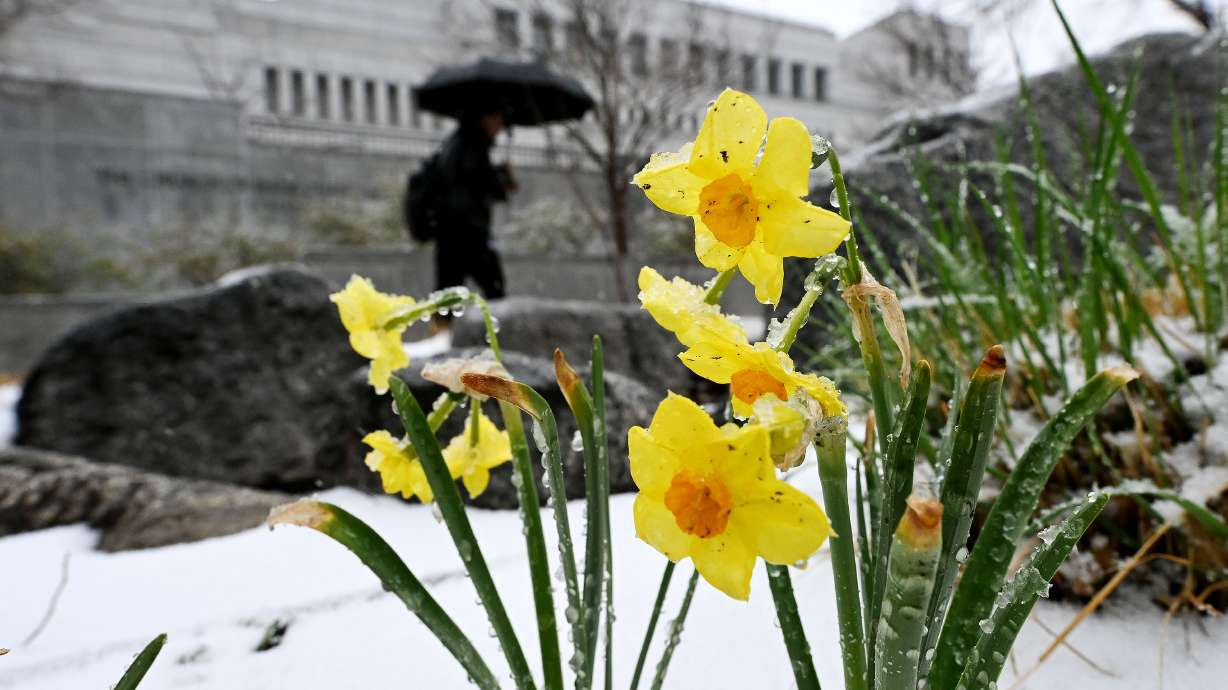
However, it also produced late-season valley snow Tuesday morning that proved to be a trick on Utah's travelers.
While Salt Lake City only received about an inch by the state Capitol, KSL viewers submitted higher totals in other parts of the state. One person recorded 6 inches of snow in Richfield, while others reported having 5 inches in places like Salina and Santaquin. One viewer even recorded as much as 12 inches of snow in Woodland Hills in the bench area of Utah County.
Utah Highway Patrol troopers reported that they had responded to 110 crashes and slide-offs by 3 p.m., and traction laws were implemented at multiple mountain passes. Little Cottonwood Canyon was also briefly closed Tuesday for additional avalanche mitigation.
KSL meteorologist Matt Johnson explained that the Great Salt Lake and Utah Lake helped "enhance" some of the totals along the Wasatch Front. He said some scattered showers are possible through Tuesday. Additional pop-up showers, especially in the mountains, are possible both on Wednesday and Thursday as the system slowly clears out.
Drier and warmer conditions are expected to return by the weekend, as temperatures return to the mid- to upper-50s along the Wasatch Front.
Full seven-day forecasts for areas across Utah can be found online, at the KSL Weather Center.


