Estimated read time: 3-4 minutes
This archived news story is available only for your personal, non-commercial use. Information in the story may be outdated or superseded by additional information. Reading or replaying the story in its archived form does not constitute a republication of the story.
- The Bureau of Land Management and U.S. Fish and Wildlife Service issued a final environmental analysis for the proposed Northern Corridor highway.
- The preferred alternative involves upgrading Red Hills Parkway to an expressway, minimizing impact on Red Cliffs National Conservation Area.
- Final decisions will be released no earlier than 30 days from the analysis.
ST. GEORGE—The Bureau of Land Management and the U.S. Fish and Wildlife Service released a final supplemental environmental analysis of the proposed Northern Corridor highway in Washington County on Thursday. The analysis offers six alternatives for establishing new roads located solely in the Red Cliffs National Conservation Area.
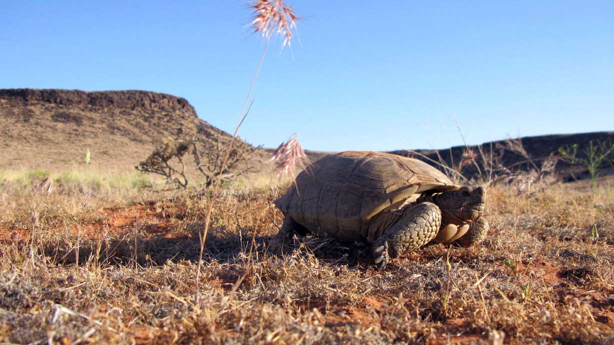
The supplemental analysis comes on the coattails of a settlement agreement reached in August 2023 after a lawsuit brought against the Interior Department over a January 2021 decision by the previous administration approving the Norther Corridor across the Red Cliffs National Conservation Area and approving a habitat conservation plan and incidental take permit for the Mojave desert tortoise.
The new, final analysis is meant to build on the original one and will address procedural matters identified in court documents where the federal agencies fell short of compliance.
"Public and stakeholder input was vital to ensuring we had a full understanding of the issues, concerns and potential impacts for each of the proposed alternatives," said BLM Color Country District Manager Gloria Tibbetts in a statement. "We value the close working relationship with our tribal, federal, state and local partners, and for the unique expertise they brought to this process."
George Weekley, the Fish and Wildlife Service's Utah field supervisor, said the service and the BLM are "committed" to balancing infrastructure needs with protecting the threatened Mojave desert tortoise and other resources such as vegetation communities, sensitive plant species, and cultural resources.
Included in the analysis were the following alternatives:
- Three alternatives to establish new roads located completely within the Red Cliffs National Conservation Area.
- Two alternatives involving modifications to existing roads.
- One alternative that would terminate the current right-of-way grant.
The right-of-way grant, obtained by the Utah Department of Transportation, calls for the construction of a multilane, divided highway north of the city of St. George, Utah, on BLM-managed and nonfederal lands within the Red Cliffs National Conservation Area and the overlapping Red Cliffs Desert Reserve.
In reviewing public comments and analyzing data, the BLM and Fish and Wildlife Service identified the Red Hills Parkway Express as the BLM's preferred alternative.
This alternative would involve improvements to the existing Red Hills Parkway to convert portions of the roadway to a limited-access expressway directly connecting to I-15. This alternative represents the lowest impact to the Red Cliffs National Conservation Area and the purposes for which it was designated and is predicted to best resolve east-west traffic congestion in Washington County, said the final supplemental environmental analysis.
"This alternative would include modifications to St. George Boulevard and 100 South to respond to future transportation demands in the greater St. George metropolitan area. The two roadways would be converted into a one-way couplet system between I-15 and Bluff Street, wherein St. George Boulevard would only accommodate westbound traffic, and 100 South would only accommodate eastbound traffic," said the analysis.
"St. George Boulevard would be converted from its existing two lanes in each direction (with a raised center median and turn pockets) to three westbound lanes. Modifications to the cross streets between I-15 and Bluff Street would disallow eastbound left and right turns from the cross streets. Similarly, 100 South would be converted from its existing one lane in each direction (with a center-turn lane), to three eastbound lanes. Modifications to the intersections at cross streets between I-15 and Bluff Street would disallow westbound left and right turns from the cross streets," the analysis continued.
The BLM and Fish and Wildlife Services are now set to release records of decision — the final decision document in the National Environmental Policy Act process — no earlier than 30 days from the release of the final supplemental environmental analysis.
The full final supplemental environmental analysis can be read here.


