Estimated read time: 4-5 minutes
This archived news story is available only for your personal, non-commercial use. Information in the story may be outdated or superseded by additional information. Reading or replaying the story in its archived form does not constitute a republication of the story.
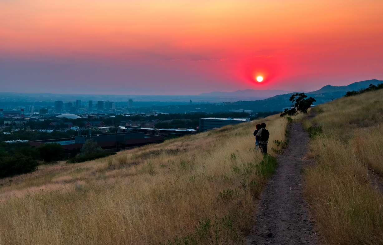
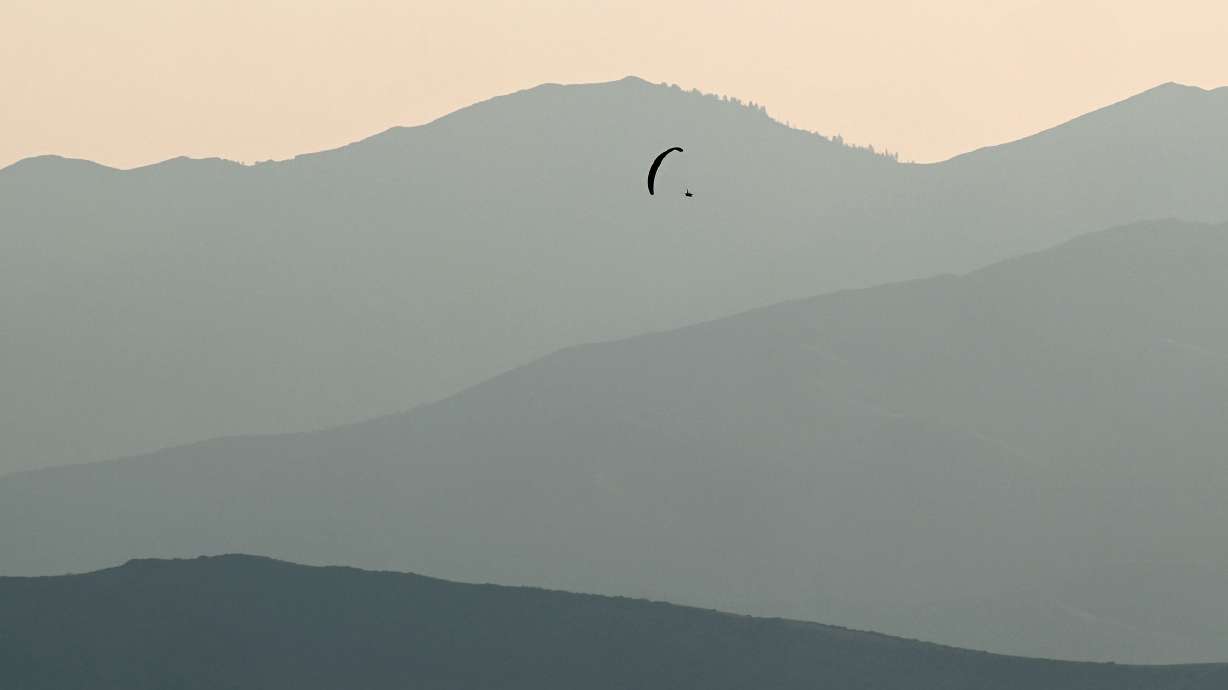
SALT LAKE CITY — Smoke from fires impacting the Pacific Coast has been a fixture across the Wasatch Front this week, leading to some eerily beautiful sunsets but also worse air quality levels.
That could change with a shift in weather patterns this weekend.
Why has it been so smoky?
The ongoing smoke is the result of a predominant pattern that has produced winds coming into Utah from the west and northwest. It's picking up smoke from some of the 45 active fires in California, Oregon and Washington and dumping it into Utah.
The National Interagency Fire Center says those fires have already burned over 1.6 million acres of land across the three states. This includes the human-caused Park Fire in northern California, which is nearing 400,000 acres in size, and the lightning-sparked Durkee Fire in eastern Oregon, which is close to 300,000 acres.
For comparison, there have been over 700 different fires in Utah this year that had burned a little over 43,000 total acres as of Friday morning.
"We've been seeing a lot of smoke being pulled into the state of Utah," said KSL meteorologist Kevin Eubank, of the wind pattern.

Between smoke and ozone, air quality levels have reached levels considered moderate to unhealthy for sensitive groups across the Wasatch Front and northern Utah, according to the Utah Division of Air Quality.
Clearing the smoke?
The ozone situation may not change soon with the summer heat, but some relief is in sight for the smoky haze. Eubank explains a high-pressure system near the Four Corners is set to move northwest over southeast Utah, shifting wind patterns by Friday afternoon.
The shift will also allow for scattered monsoon showers to reenter southern Utah Friday afternoon, while the smoke begins to thin out for the weekend.
"As this high gets closer, it flips the flow to the south. That brings in more clouds; it brings more pop-up storms, but it helps usher out some of that smoke," he said.
The high-pressure system is forecast to bounce around Utah over the weekend, eventually zigzagging from the southeast corner to its western edge to the northeast corner. Moisture around the system is expected to produce more scattered storms and showers across the state on Saturday, while eastern Utah is more likely to receive showers on Sunday as the system is forecast to return to southern Colorado.
This is the type of pattern needed to prevent Pacific Coast fire smoke from entering Utah. Long-range forecasts now offer some hope the monsoon pattern could become more common in August.
The National Weather Service Climate Prediction Center released its final August outlook on Wednesday, flipping most of Utah from being drier-than-normal to having "equal chances." That means there's no clear signal whether it will be drier or wetter than average, or near normal.
This could also mean August will have a mix of dry stretches and monsoon storms, which is better than the mostly dry stretches that have impacted Utah so far this summer.
"What we need is some of those monsoon rains and just spread water all over the state to soak things down," Eubank said. "It'd help with the fires; it'd help with the smoke. Let's wait and see."
Lingering heat
What won't change this weekend is the heat. The weather service issued yet another heat advisory for the Wasatch Front, northern Utah, West Desert and a large portion of central and eastern Utah that will remain in place Friday and Saturday.
AUGUST OUTLOOK: Here's what we normally see during the month of August in Salt Lake City. Over 20 days in the 90s! #utwx 🥵 pic.twitter.com/XUrbwCd20e
— Matthew Johnson (@KSL_Matt) August 2, 2024
High temperatures are forecast to top out at about 102 degrees, while overnight temperatures may only slide into the mid- to upper-70s during that time. The agency says this may result in heat-related illnesses.
To combat the heat, the weather service recommends the following:
- Drink plenty of fluids and remain in an air-conditioned room if possible.
- If outside, wear lightweight and loose-fitting clothing.
- Schedule strenuous activities in the early morning or evening hours if possible.
- Check up on neighbors or relatives who may be prone to heat-related illnesses.
- Never leave a child or pet unattended in a vehicle.
It appears August may remain hotter than normal in Utah. High temperatures are forecast to remain near or above 100 degrees across the Wasatch Front through the weekend and into early next week.
The Climate Prediction Center outlook also lists all of Utah as having a 70-80% probability for above-normal heat, the highest percentage of any state this month.
Full seven-day forecasts for areas across Utah can be found online, at the KSL Weather Center.


