
- Lake Powell levels jumped by over 10 feet this month due to recent storms and other extra inflows.
- The reservoir is still just 23% full, remaining very low after a poor snowpack year.
- More rain is forecast, which could cause flooding in Utah and Colorado.
SALT LAKE CITY — This month's wet weather has given Lake Powell a welcome boost, and it may continue to benefit from more wet weather.
The nation's second-largest reservoir, located along the Utah-Arizona border, remains less than a quarter full, but it has now gained more than 10 feet following a series of storms this month.
It was listed at an elevation of a little more than 3,532 feet on Tuesday, according to the official U.S. Geological Survey site. That's nearly 9 feet above its level last week, which was approximately 2½ feet above levels recorded at the beginning of the water year, Oct. 1.
"We've definitely seen an excess of water into multiple reservoirs," said Erin Walter, a hydrologist for the National Weather Service's Grand Junction office, noting that boosts have also been reported along the Navajo Reservoir at the Colorado-New Mexico border.
It's one element of a recent influx of rain along the Utah-Colorado border, following a pair of strong storms that have passed through both states in recent weeks. Both produced multiple inches of rain, especially in mountain areas.
The Colorado River headwaters basin has collected, on average, 2½ inches of precipitation since the water year began, which is a little above normal, per Natural Resources Conservation Service data. But basins in southwest Colorado have already collected between 6 and 9.3 inches — setting new records for the first month of a water year.
Southeastern Utah's basin — covering a large chunk of eastern Utah — has already collected 7 inches, which is also the highest since at least 1986. October precipitation totals in the Northeastern Uintas and Duchesne basins aren't record-breaking, yet more than double and triple what they normally collect during the first month of the water year.
Last week's storms led to spikes in water flows within the Animas, San Juan and Piedra rivers within the Colorado River system. The San Juan River even reached record levels at a site in the Four Corners region, Walter said.
That has ended up in Lake Powell, along with ongoing releases from Flaming Gorge.
The caveat, of course, is it's a drop in the bucket after the entire region struggled to collect snowpack this year. The reservoir is now 23% full, up from 22% last month.
"Our reservoirs are very low from this previously bad winter and ongoing drought," Walter said.
More to come?
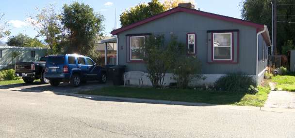
The downside has been flooding. For example, seven homes and four businesses were flooded in Bluff, San Juan County, over the weekend.
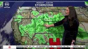
The National Weather Service is tracking a storm system that could dump another 1 to 3 inches across southwest Colorado and southeast Utah this weekend, which could bring more flooding threats.
It's based on a push of water vapor from the Pacific that is projected to push into the Southwest U.S., which can materialize into showers and thunderstorms.
More certainty about its path and precipitation potential is expected later this week, and where it sets up could determine if rivers within the region swell again.
"We're still not completely confident on the totals of precipitation and which ranges we'll see that bull's-eye of 2 or greater than 3 inches possible," she said. "If that falls as rain versus snow, it can really affect our river forecast."
Models currently suggest that the system could produce showers and thunderstorms across many other parts of the state toward the end of the workweek, starting with southwest Utah, according to KSL meteorologist Devan Masciulli.
Scattered showers are possible across the state on Saturday, with more widespread precipitation expected Sunday and potentially Monday, as the core of the system reaches the state. Snow levels could fall to 7,000-7500 feet elevation as the storm system passes through, she added.
Exact projections for other parts of the state will also be clearer closer to the weekend, as models gain more certainty.
Full seven-day forecasts for areas across Utah can be found at the KSL Weather Center or on the KSL Weather app.