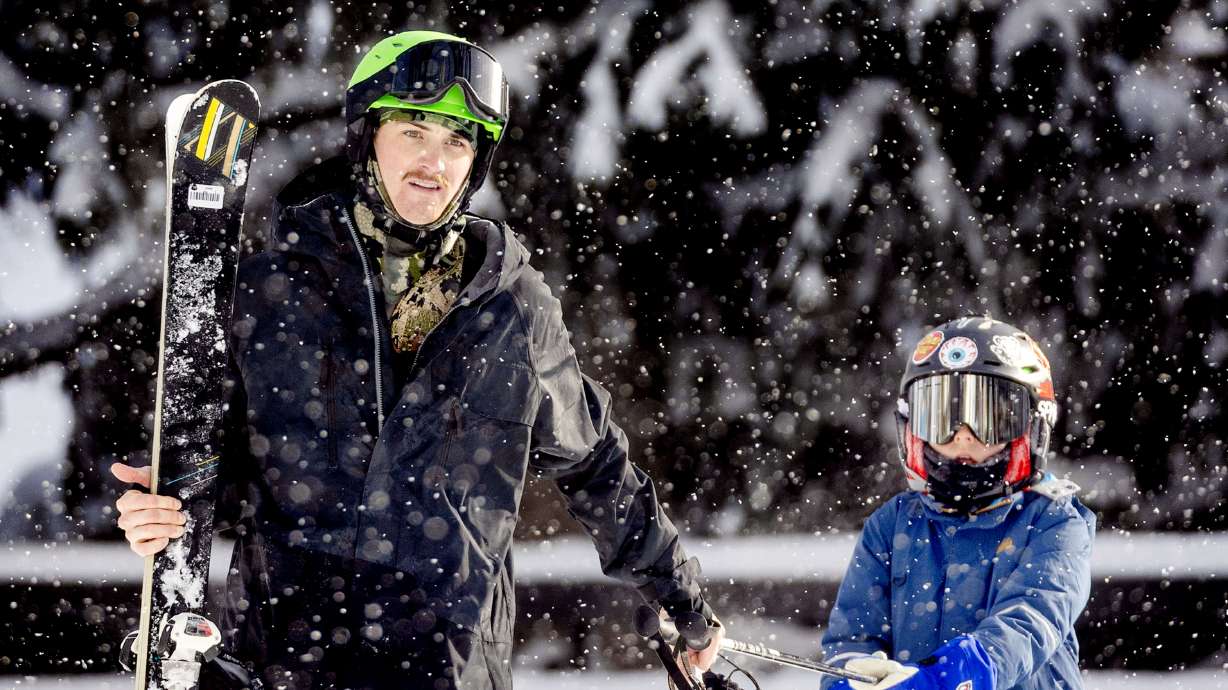
- The National Weather Service issued winter weather advisories for significant snowfall in Utah's mountains.
- Parts of Utah's mountains could receive up to a foot of snow or more by the end of Thursday.
- Rain more likely in valleys; traction laws might be enforced in mountain passes.
SALT LAKE CITY — Finally, a sign that Utah is still in winter.
The National Weather Service issued a series of winter weather advisories for Utah's mountains, which could receive their largest snowfall in a month over the next few days from a decaying atmospheric river passing through the state. Some mountain sites could receive up to a foot or more of snow by the end of Thursday.
Some showers are possible Tuesday night, but the brunt of the moisture is slated to arrive early Wednesday, potentially leading to a wet morning commute, said KSL meteorologist Matt Johnson. He said it'll start with a mix of valley rain and mountain snow in southwest Utah before moving into most of the rest of the state later in the morning.
Snow levels will likely be around 6,500 to 7,000 feet or higher. The mixture of rain and snow will continue in waves through Wednesday evening, possibly leading to a wet evening commute, he added. The same goes for Thursday, as scattered rain and snow showers linger into the morning and afternoon before the system clears out.
About 6 to 12 inches of snow is expected in mostly areas above 7,500 feet in the Wasatch and West Uinta mountains between late Tuesday and Thursday morning, according to the National Weather Service's advisory for the area. Totals closer to 15 inches are possible in the upper Cottonwood canyons.
The agency adds that 6 to 12 inches of snow are possible in the Brian Head and Tushar Range in the southern mountains, while 2 to 5 inches are possible in areas closer to 8,000 feet in elevation. Five to 10 inches of snow are possible in the central mountains, as well.
Drivers are urged to use caution when traveling through mountain passes. Traction laws might be enforced at times over the next few days.
The system also has the potential to deliver close to or more than a half-inch of rain along the Wasatch Front and northern Utah over the next few days, according to a KSL Weather model. Many parts of central and southwest Utah could see over a tenth of an inch by the end of Thursday, while lower totals are expected in southeast Utah.
It won't solve Utah's record-low snowpack to date, but it figures to provide a decent haul for the mountains. Utah's statewide snowpack as of Tuesday remains at 50% of the median for this time of year.
Another storm is forecast to impact the state early next week, which could keep the active pattern going.
Full seven-day forecasts for areas across Utah can be found online at the KSL Weather Center.


