- A storm is expected to break Utah's inversion but won't improve snowpack.
- Some mountains may receive 2-6 inches of snow; most areas will see minimal precipitation.
- Inversion haze could return next week with little moisture in the immediate forecast.
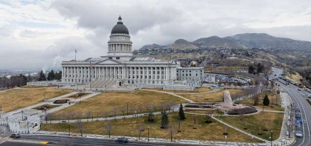
SALT LAKE CITY — A storm pattern that is forecast to wreak havoc across the South this weekend should also help to ease the Wasatch Front's longstanding inversion first.
However, meteorologists say it likely won't help Utah's below-normal snowpack situation.
Improved air quality for some, snow for others
Following more than a week of weather predominantly controlled by a high-pressure system keeping the West warm and dry, a low-pressure system off the California Coast on Thursday is helping break up the quiet pattern. It's forecast to drop south of Utah as it moves east, which will help pull a mostly dry cold front in from the north, said Jon Wilson, a meteorologist for the National Weather Service.
About noon Friday, the cold front is projected to reach the Utah-Idaho border before sweeping through the Wasatch Front later in the day.
"I think we'll start to see significant (air quality) improvement by (Friday) afternoon, in particular the late afternoon to evening," he said, adding that a "gradual push of colder air" will continue into Saturday.
Moisture from the northern end of the low-pressure system should end up in southern Utah about the same time as the cold front enters northern Utah, but most of the moisture is expected to remain close to the I-15 and I-70 junction and areas south of it, Wilson said.
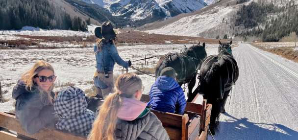
Mountains in that area could receive 2 to 6 inches of snow, but the system likely won't produce more than a brushing of snow elsewhere in the state, per the National Weather Service.
A KSL Weather model projects that some parts of south-central Utah might collect a tenth of an inch or more of precipitation by the end of Saturday, but most places are projected to receive less than that, if any precipitation at all.
More moisture on the way?
A few "weak shortwaves" in the atmosphere are possible after Saturday, which could be strong enough to prevent inversion conditions from returning by the start of next week, but inversion haze may also begin to return to the Wasatch Front as early as Monday. Additional systems likely wouldn't bring much moisture either, Wilson adds.
"We're really staying quite dry," he said. "The next signal for any real precipitation doesn't come until later in the week."
The agency projects that Utah's snowpack collection may tumble into record-low levels by February, barring a drastic change in the forecast. Long-range projections don't signal much change until approximately the second half of next month.
More inversions could form between next week and then.
Full seven-day forecasts for areas across Utah can be found online at the KSL Weather Center.