Estimated read time: 4-5 minutes
This archived news story is available only for your personal, non-commercial use. Information in the story may be outdated or superseded by additional information. Reading or replaying the story in its archived form does not constitute a republication of the story.
- A storm could produce up to a foot of snow in parts of Utah's mountains between Monday evening and Wednesday morning.
- Winter weather advisories warn of hazardous driving conditions in high-elevation areas.
- Temperatures are expected to drop significantly over the next few days.
SALT LAKE CITY — Meteorologists warn the storm set to arrive in Utah may create tricky mountainous driving over the next few days. Still, skiers and snowboarders hope the pre-Halloween storm provides more treats than tricks in Utah's mountains.
The National Weather Service's Salt Lake City and Grand Junction offices have issued a series of winter weather advisories covering Utah's mountain ranges, which may receive up to a foot of snow — and possibly more in some areas — between Monday night and Wednesday morning.
A few inches of snow is also forecast for Wasatch Backcountry communities, while some snow is possible along the valley floors, but rain is more likely.
Storm timing
Some lingering showers from a small system in central and southern Utah are forecast for Monday, but a low-pressure system coming from the Pacific Northwest will break a storm lull that set up over most of the state after a helpful mid-October storm.
A cold front ahead of the storm is expected to arrive in Utah around the late afternoon and early evening hours on Monday, bringing in a wave of showers, said KSL meteorologist Matt Johnson. Windy conditions are forecast before its arrival, including gusts of up to 50 mph in places like Cedar City on Monday.
Rain along most of the Wasatch Front and northern Utah is expected by the evening. The wave of precipitation is forecast to continue overnight in those regions while expanding to most of the state by early Tuesday.
"This will be the brunt of the system. It's an overnighter," said Johnson, adding that the snow line will begin at about 7,500 feet elevation and above, but it will drop to about 5,000 feet by Tuesday morning as the showers continue.
Scattered showers are forecast across the state through Tuesday night and Wednesday morning as the core of the storm exits the state.
Projected accumulations
The National Weather Service's winter weather advisories lay out different snow accumulation projections over the next few days. Those state:
- Six to 12 inches of snow is possible along the Wasatch and Uinta mountains. Upwards of 16 inches of snow could fall in the upper Cottonwood Canyons, but a weather service snow projection model projects that most resorts in the canyon will top out at about 1 foot.
- Four to 8 inches of snow is possible along the Abajo, Book Cliffs/Wasatch Plateau, central, La Sal and southern mountains. Amounts closer to 1 foot are possible across the Tushar Range and the ridges near Fillmore.
- Two to 5 inches of snow is possible along the Wasatch Backcountry and southwest Wyoming.
The Wasatch Backcountry advisory states that there's a potential for "locally higher amounts" up to 8 inches in areas like Park City and parts of Uinta County, Wyoming, but the weather service's snow projection model only lists an inch or two at most. The difference may come down to when and where the snow line sets up.
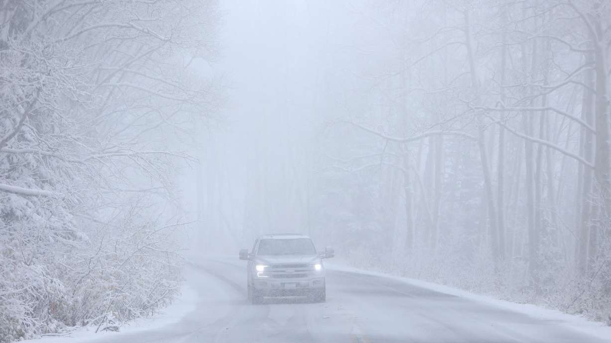
Regardless, the agency says drivers should prepare for "winter driving conditions" across high-elevation roads.
"Hazardous conditions could impact the Tuesday morning and evening commutes," the alerts state.
A storm will bring accumulating snow to all of the mountains of Utah, the Wasatch Back, and Uinta County, WY. Snow will begin across northern Utah Monday evening before shifting south overnight Monday. Snow will continue on and off through early Wednesday. #utwx#wywxpic.twitter.com/PnZp1dCVUq
— NWS Salt Lake City (@NWSSaltLakeCity) October 27, 2024
However, it's good news for the state's 15 resorts as they prepare for the new ski year. Brian Head Resort plans to be the first resort to open this year with Nov. 8 as its listed opening day.
Meanwhile, a KSL Weather model projects that most of the precipitation will be along the Wasatch and central mountains, which could end up with close to an inch of precipitation by the end of Tuesday. Not as much as expected elsewhere, but most regions have the potential to collect 0.10 inches or more.
Johnson said a pocket between the southern half of the Wasatch Front and Cedar City has the greatest probability of collecting a half-inch of precipitation among valley locations.
The timing will likely result in potentially slick roads during the Tuesday morning commute.
Another temperature drop
Utah's latest run of above-normal temperatures will end with the incoming storm.
High temperatures across the Wasatch Front and northern Utah are set to max out in the upper 40s and low 50s on Tuesday and Wednesday after reaching 72 degrees in some areas on Sunday. High temperatures will fall into the upper 50s and low 60s across the regions on Monday.
Multiple freeze watches have been issued across the state, including parts of the Wasatch Front, where sub-freezing overnight temperatures are possible between Tuesday night and Wednesday morning.
As for southern Utah, highs in the mid-to-upper 70s are forecast for the St. George and Moab areas on Monday. Those will drop into the mid-to-upper 50s and low 60s on Tuesday and Wednesday.
A slight warmup is forecast for Halloween before another storm potentially impacts the state over the weekend.
Full seven-day forecasts for areas across Utah can be found online, at the KSL Weather Center.


