Estimated read time: 3-4 minutes
This archived news story is available only for your personal, non-commercial use. Information in the story may be outdated or superseded by additional information. Reading or replaying the story in its archived form does not constitute a republication of the story.
LITTLE COTTONWOOD CANYON — Utah's first snow of the season has indeed arrived.
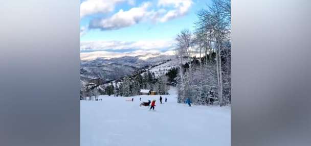
Alta Ski Area's webcams showed a healthy dusting of snow near the top of Little Cottonwood Canyon, especially by Sugarloaf Peak, on Tuesday morning. Snowbird also posted a video of freshly fallen snow in the canyon, while Brighton Mountain Resort celebrated its first snow of the season as well, in nearby Big Cottonwood Canyon.
First snow of the season!https://t.co/HI5bgg8MqQpic.twitter.com/qnRWuk24W8
— Alta Ski Area (@AltaSkiArea) September 17, 2024
"Woot. Let's hope the first layers go down solid," wrote one ski enthusiast in response to social media posts about this first snow, summarizing most of the reaction from the skiing and snowboarding community.
KSL meteorologist Matt Johnson said the snow line ended up about where it was projected, impacting many mountain areas at 9,000 feet elevation or higher, including mountains in southern Utah, like Eagle Point Resort in Beaver.
When snow typically returns
This year's first mountain snow fell slightly later into the new season than last year when the state's mountains received a decent amount of snow from a cold Labor Day storm. However, it's fairly par for the course, says KSL meteorologist Matt Johnson.
For instance, the first snow in Utah's mountains two years ago came on Sept. 16.
Mountain communities like Alta typically receive about 2.7 inches of snow in September, based on National Weather Service data dating back to 2000. During that span, there were times it never snowed in September, but in several instances, at least a trace of snow fell in early to mid-September.
Utah's high elevations once received a trace of snow as early as Aug. 10 in 2003, and, in 2006, Alta received 11 inches of snow from a Sept. 16 storm.
The National Weather Service has tracked Salt Lake City weather data since 1874. Nov. 8 is the average first snowfall date over that time, representing about the first time snow typically returns to the valleys.
But Tuesday also marks the 59th anniversary Alta received its earliest first snowfall on record. A little over 2 inches of snow fell within Utah's capital from a storm on Sept. 17, 1965.
What does it mean for this winter?
An early first snowfall date doesn't mean anything about what type of winter Utah will have.
"This does not have any correlation to what kind of snow season we're looking at," Johnson said. "Nonetheless, nice to see the snow this early."
It's still very unclear what type of winter Utah will have after the state ended up with back-to-back above-normal snowpack collections the past two winters.
The National Weather Service's Climate Prediction projects a La Niña oceanic pattern will return this winter, which doesn't mean much in terms of Utah's long-range forecast. La Niña generally produces wetter conditions in the Pacific Northwest and drier conditions in the Southwest, but Utah is typically caught in between with varying levels of precipitation success.
For example, its last La Niña winter produced a record-breaking 30-inch snowpack. The two years before that were also La Niña winters, where the state topped out at 12.1 and 12 inches of snow water equivalent, respectively — about 4 inches below the median statewide peak.
The center's early season projections list most of Utah as having slightly greater odds for below-normal precipitation this winter, while northern Utah is listed as having "equal chances." This means there's no clear signal whether wetter, drier, or near-normal conditions will emerge between Dec. 1 of this year and Feb. 28, 2025.
It isn't the agency's final winter projection, though, which is typically expected by mid-November.
Another productive winter would be beneficial for Utah beyond the outdoor recreation opportunities for which the state is known. About 95% of the state's water supply is tied to its snowpack collection and snowmelt processes.


