- A storm that reached the state late Tuesday dumped over an inch of rain in parts of Utah.
- More rain and snow is forecast for Utah's northern half on Thursday.
- A freeze watch is issued for Wasatch Front and other parts of Utah.
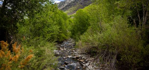
SALT LAKE CITY — A storm that broke up Utah's dry stretch proved to be no joke, delivering over an inch of rain in Lindon and Payson, and more than a third of an inch across many other communities across the state by Wednesday afternoon.
Alta Ski Resort also reported receiving close to a foot of snow by 2 p.m., snapping a streak without snow that lasted more than three weeks.
"These are big-time totals, especially after going 25 days with nothing," said KSL meteorologist Matt Johnson, pointing to the precipitation totals collected so far.
And there's more on the way. Although the storm was forecast to taper off by Wednesday evening, another system is waiting in the wings and is expected to impact Utah's northern half on Thursday.
The National Weather Service issued another winter weather advisory for the Wasatch and Western Uinta mountains, which could receive another foot or more of snow by Friday morning. It also issued a freeze watch for the Wasatch Front, northern Utah and parts of central Utah, as it ushers in colder temperatures, too.
Another storm to reach Utah
The second wave is a colder low-pressure system arriving from the Gulf of Alaska, which will bring snow to lower levels than its predecessor did, Johnson said.
Some showers are possible on Wednesday night, but heavier showers aren't likely until early Thursday. The mix of valley rain and mountain snow may continue during the morning commute before a cold front arrives sometime between the late morning and early afternoon, which could drop snow levels as low as 5,500 to 6,000 feet.
Showers will become more scattered by Thursday evening, but lake-effect showers are possible again in areas east of the Great Salt Lake Friday morning, Johnson added.
Another 6 to 12 inches of snow is possible in the Wasatch Mountains, according to the weather service's advisory, which lasts from early Thursday through Friday morning. Higher totals are possible in the upper Cottonwood canyons.
High-elevation communities like Park City could end up with a few inches of snow, while bench areas may also pick up an inch or two, according to one agency model. It notes that there's some chance for valley snow accumulation, but cities will most likely receive a trace if anything.
The system has the potential to deliver another 0.25 to 0.5 inches of rain across the Wasatch Front, per KSL Weather models. Parts of central Utah could also receive over a tenth of an inch, but precipitation probabilities are lower in many areas south of Fillmore.
Freeze watch issued
Frigid air will accompany the precipitation, which may cause issues for people who have started gardening or farming after temperatures reached the 70s and 80s in Utah's northern half almost every day to close out March.
Salt Lake City reached an average temperature of 53.6 degrees last month, which shattered the previous record set in 2017 by 3.5 degrees in the 152 years that the National Weather Service has collected the city's data.
However, overnight temperatures could drop into the mid-20s and low-30s or lower across the Wasatch Front and Tooele Valley between Thursday evening and Friday morning, as well as northern Utah and San Rafael Swell, prompting the weather service to issue a freeze watch for those areas.
A strong cold front will be moving through the area on Thursday, bringing temperatures down to at or below freezing Friday morning, and potentially Saturday morning as well. This includes valley locations across northern Utah as well as the Swell. Take steps to avoid crop loss. pic.twitter.com/LmKGOEasPO
— NWS Salt Lake City (@NWSSaltLakeCity) April 1, 2026
The agency recommends that people take steps now to protect tender plants from the cold, drain any in-ground sprinkler systems and cover any above-ground pipes to avoid damage to sensitive vegetation or unprotected outdoor plumbing.
Similarly cold temperatures are expected between Friday night and Saturday morning, while high temperatures may not even reach the 50s across the Wasatch Front on Thursday or Friday.
Drier and warmer conditions are forecast for Easter weekend. Temperatures are projected to reach the mid-60s and 70s by the end of the weekend and start of next week.
Full seven-day forecasts for areas across Utah can be found online at the KSL Weather Center.